Opening hours:
midday break from 12 p.m. - 1 p.m.
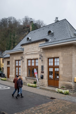
In the "Tourist Info Larochette", located 25, Chemin J.A. Zinnen L 7626 Larochette, we have the following for you:
- touristic information about Larochette an its surroundings, and the Grand Duchy of Luxembourg generally speaking.
- various hiking maps for sale, map Larochette at 2,50 € and the map of the whole region Mullerthal, Luxembourgs Little Switzerland at 4,- €
- national cycling map at 10,- € (2 maps)
- various regional souvenirs, postcards and regional products.
With an area of 15,4 ha and its 2232 inhabitants (registered 2025), Larochette is a multicoloured mix of different nationalities and cultures.
The municipality comprises Larochette, Ernzen, Meysembourg and the farms Goudelt, Leydenbach and Weydert.
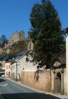
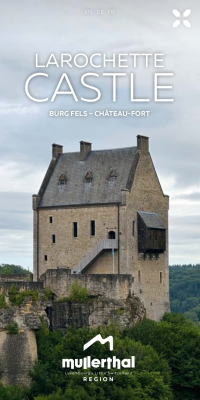
The name Larochette comes from the rock on which the castle was built.
Larochette is first mentioned in 1176 under its Latin name Rupe (the rock). Later, around 1182, there will be a German shortform Roketa and another Latin shortform in 1310 Rupella.
The actual name of Larochette is first heard in 1317 and it seems as if the lords of that period wanted to clearly make a difference between the French La Roche and the German La Roche. The German name than appears around 1291 as von der Vels, Veilz, Velz, Feltz or Fels. According to the Institut Grand ducal, the Luxemburgish name is “An der Fiels” or “An der Feels”.
The river is first mentioned in 1378 and 1384 as Erentzin or Erentz and still earlier in Latin as Arantia (876). In this form one can find an ancient celtic word Aar or Ahr meaning water.
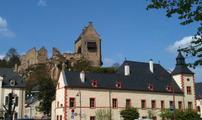
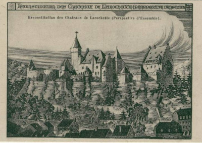
The origins of Larochette come probably from a mill along the White Ernz and surrounded by several houses. These constructions, were settled close to one another in an egg-shaped form that assured some self-defense.
It is from this “egg”, at the foot of the “Verluerekascht” rock, that the village was born. More houses were built as well as a citywall. This wall had two doors, one up in the village, higher than the wall which defends the castle, and another one on the eastern side on the banks of the river. These doors were secured by a round tower. Behind the original mill were a church, dedicated to Saint Nicolas, and a cemetery. It is only under Austrian government, after 1714, that Larochette will break out of the city walls and start the development of its different industries.
In a devastating fire in June 1864 the Saint Nicolas Church and 75 surrounding mansions were destroyed. A new Church was inaugurated in 1884 and dedicated to Saint Donatius.
More history about Larochette under the tab "discover"
Please follow the link to access the administrative site of Larochette.
Site administratif de Larochette
