The history of the Natur- & Geopark Mëllerdall begins around 245 million years ago, in a sea. Countless particles of sand and others were deposited and solidified into rock. The sea disappeared, and rivers shaped the impressive rocky landscape of the Natur- & Geopark Mëllerdall we see today.
Located on this outstanding geological heritage, a diverse and valuable natural and cultural heritage came into being. The task of the Natur- & Geopark Mëllerdall is to preserve this heritage and to develop our region sustainably. At all times, the central focus of our actions is the people. You can find more information here: www.naturpark-mellerdall.lu
Around Larochette, the geotopes of the Luxembourg Sandstone in the Noumerleeën or the Champignon, (a lonely bloc of sandstone between Kengert and Schrondweiler whose shape reminds of a mushroom), are examples of interesting places and objects related to geology.
The folders you can download below (French and German) show the various aspects of the landscape. You can visit them by using the existing hiking tracks.
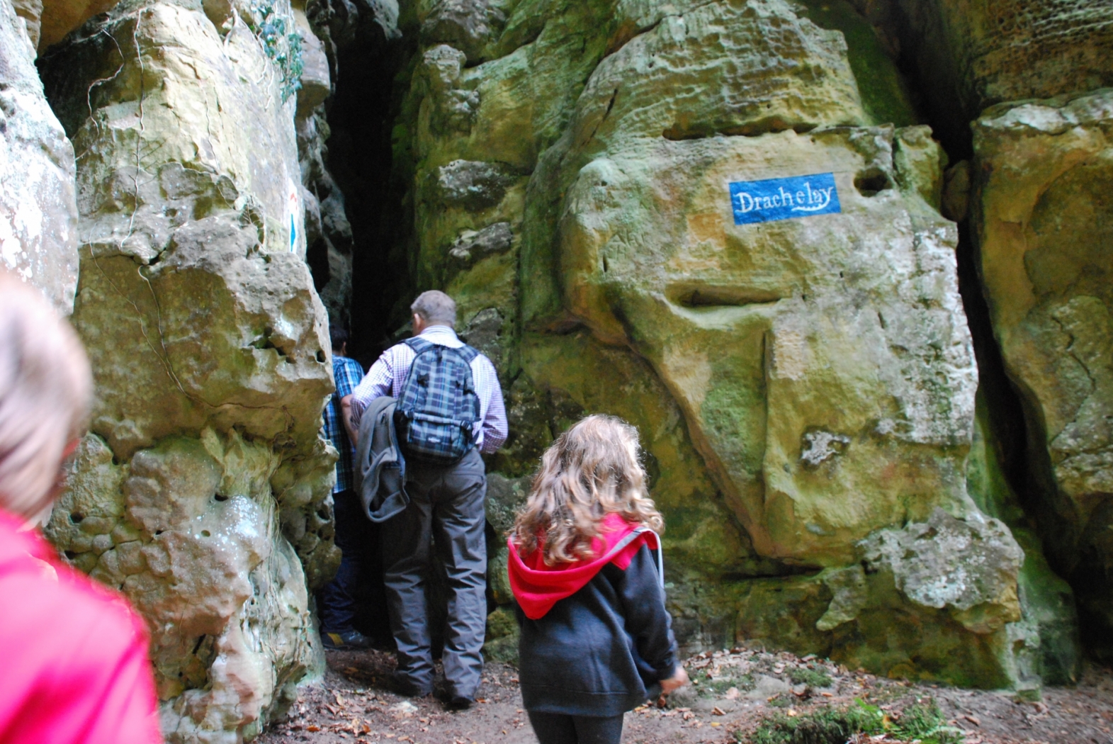
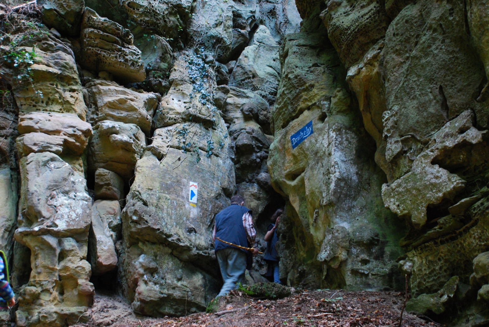
This path is an adventure for the whole family, although some parts are a bit more demanding.
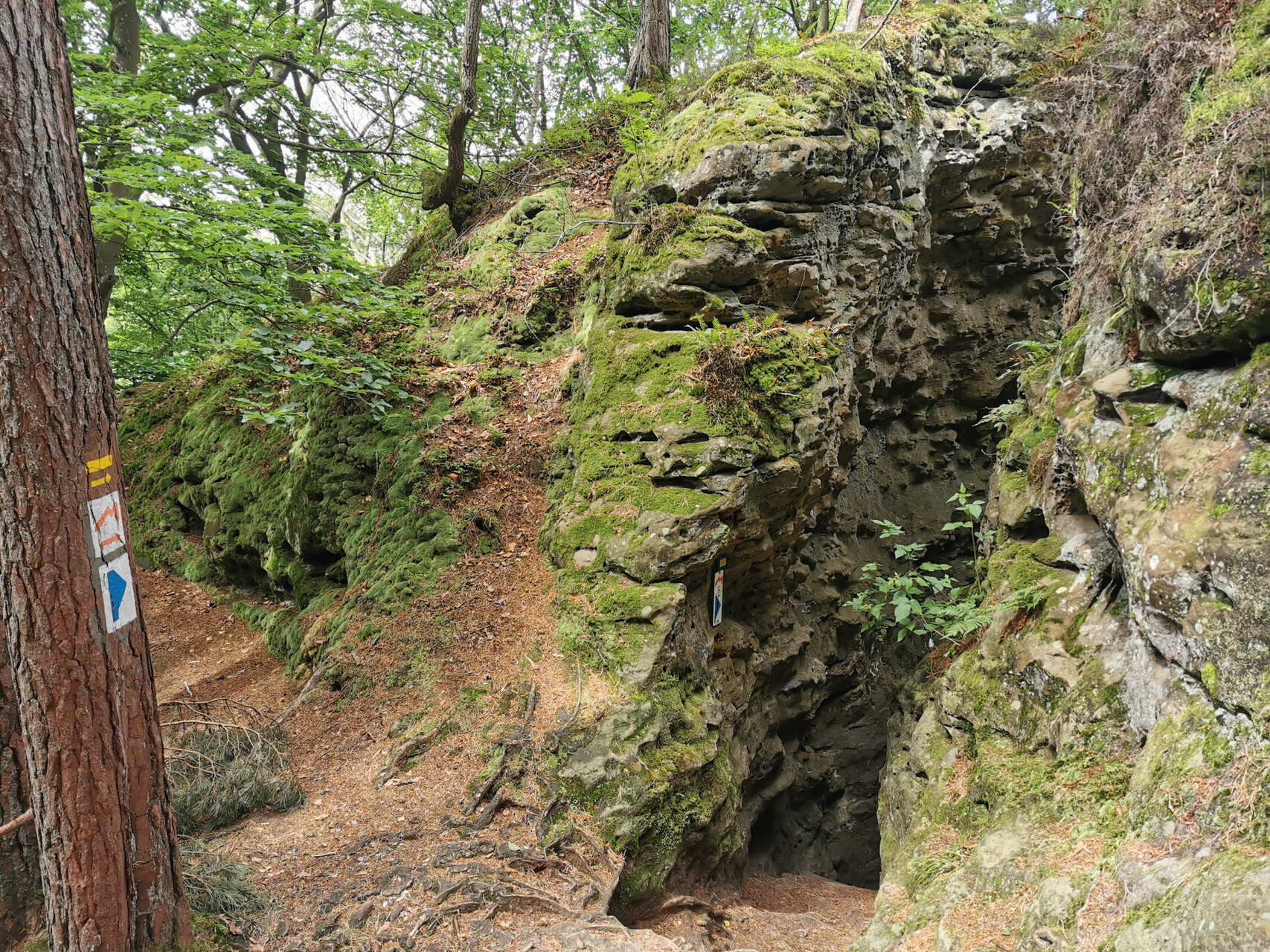
This short route with many narrow spots and steps leads through the fabulous rock formations of the Noumerléen.
Here one highlight follows the other and let yourself be enchanted by the rocky landscape.
Starting point : Nommern: Eurocamping Nommerlayen
Arrival : Nommern: Eurocamping Nommerlayen
Parking : Closest parking lot: Eglise/Mairie (50 m)
Distance : 5,896 km
Highest point 397 m
Time : 02h00
Difficulty :

B.P. 152
L-6402 Echternach
T : +352 72 04 57 1
F : +352 72 75 24
E :
W : www.mullerthal.lu
See on the map
Discover a miniature image of the sandstone region of Luxembourg's Little Switzerland.
Discover a miniature image of the sandstone region of Luxembourg's Little Switzerland.
The Noumerleeën are a miniature image of the entire sandstone region of Little Switzerland. Almost all geologically interesting aspects of the region can be discovered here in a small area.
There are many different sedimentation layers and weathering traces. The honeycomb weathering is particularly pronounced, which is reminiscent of honeycombs.
In addition to narrow rock passages (lux Schlëff) and half caves, traces of historical use can be admired. On a rocky outcrop there are the well visible remains of the Roman flee-castle Alebuerg and there are numerous traces of former coalfields on which charcoal was produced.
The rocky landscape of the Noumerleeën is part of the northwest layer of the Luxembourg sandstone, which was deposited during the Lias and eroded later. The step slope rises steeply over the hilly country of marl.
The marl here is a mixture of clay minerals and dolomite, which originated in the time of Keuper between 210 and 230 million years ago.
The Noumerleeën are crossed by the "Extra Tour A" of the Mullerthal Trail. It can also be reached by the local route Auto-Pédestre Nommern 1 (5.3 km long - Start Camping Nommerlayen).
Hike: Auto-Pédestre Nommern 1 (5,3 km)
Closest bus stop: Nommern, Weierwiss (1,6 km)
Rue Neuve
L-7465 Nommern
T : +352 72 04 57 1
F : +352 72 75 24
E :
W : www.mullerthal.lu
See on the map


")
")


